Tadiandamol Peak
Weather :
Tags : Hills & Valleys
Trek Duration : 2-3 hours one way.
Difficulty Level : Moderate. Not recommended for amateurs.
Distance : 1.3 km one way
Tadiandamol Peak, Coorg Overview
Tadiandamol is the highest mountain peak in Coorg, at an elevation of 1748m. Most tourists interested in trekking are drawn to this place as the journey is difficult, but the view from the top, unparalleled. While being the second highest peak in all of Karnataka, Tadiandamol trek is also a very good option for nature lovers who desire scenic surroundings and are beginners in the trekking scene. Apart from the treks, nature lovers can visit the place as almost half the journey can be reached by a vehicle.
Read More on Tadiandamol Peak
Food availability
Water availability
Tips and Tricks
2. Although water is easily available at the base camp, not so much at the peak. So bring water along if camping at the peak.
3. The weather gets pretty windy and violently rainy at the peak during the monsoon, so make sure to check the weather forecast.
4. The trail is pretty straightforward and self-explanatory, so there really isn't a need for a guide if you have previous experience trekking.
Accommodation
Trek Routes
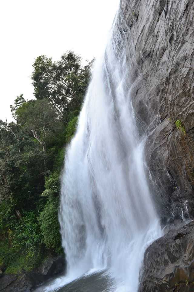
The start of the trek is a place called "Nalakand Palace" which is only about 3 kms away from Kakkabe. The road to the palace is lined with greenery as far as the eye can see and the views yet to be seen are even more awe-inspiring. The trail from the Palace to the Big Rock is narrow but still well defined and easy to find. The path has beautiful waterfalls surrounding it.

The Big Rock is the first landmark that you will come across. It is a huge rock, evident from the name, at the base of the hill that has camping accommodation and a river nearby and it's the ideal place for camping. After this point, the trail gets steeper and narrower. Deep, dark and dense forests start surrounding the trail and it can get pitch black if you are not lucky enough to get clear skies. The last stretch is, without a doubt, the most beautiful and breathtaking with flowers and fauna all around you.
How to reach Tadiandamol Peak
-
Rail: Numerous trains are available from every possible location to Bangalore and Mysore, even Vijyapet for that matter. After reaching one of these start-up points, you will have to arrange for a personal vehicle for the rest of the journey, or you could always opt for public transportation which is much cheaper and safer.
-
Road: The town of Kakkabe is approximately 250 kms away from Bangalore and 135 kms from Mysore. A car ride is a convenient and hassle-free option if you are aware of the area and the general region. After reaching the town of Kakkabe, the base camp is located a little further away near a big rock which is a major landmark of the trek. Many bus depots are also available for the journey from Virajpet which is 25kms to Kakkabe.
More about Tadiandamol Peak
Approx trek time : around 5-8 hours
Availability of night trek: N/A
Base Camp: located near a village named Kakkabe
Days required for the trek: 2 to 4 days
Difficulty level: Moderate
Height above sea level: 5740 feet
Nearest Airport: Mysore airport
Nearest Railhead: Mysore railway station which is somewhat 100 kms away from Kakkabe
Region: Coorg
Starting point of trek: Kakkabe; There isn't really a proper name for the base camp but it is a forest cover around 3 km away from the main town of Kakkabe
Type: Hill and forest type
Top Hotel Collections
Top Hotels Near Tadiandamol Peak
Tadiandamol Peak Reviews

Have a Question on Tadiandamol Peak?

experience.